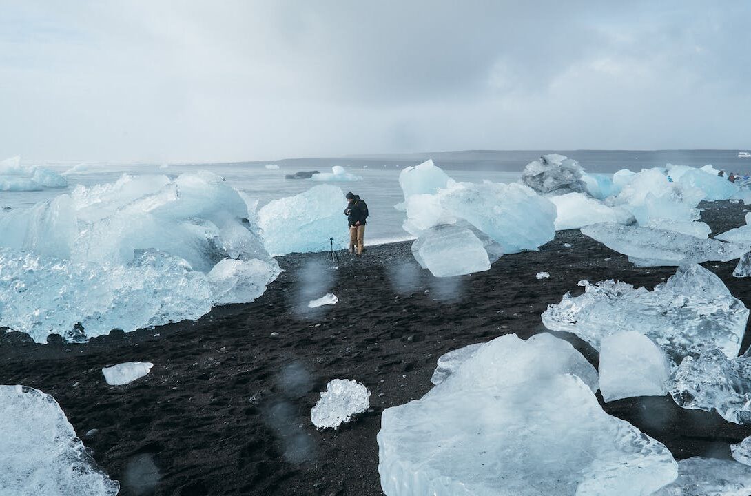
Ed: Project Pressure has created a platform for crowdsourcing glacier imagery, often photographs taken by climbers and trekkers. Why are scientists interested in these images? And what’s the scientific value of the data set that’s being gathered by the platform?
Klaus: Comparative photography using historical photography allows year-on-year comparisons to document glacier change. The platform aims to create long-lasting scientific value with minimal technical entry barriers—it is valuable to have a global resource that combines photographs generated by Project Pressure in less documented areas, with crowdsourced images taken by for example by climbers and trekkers, combined with archival pictures. The platform is future focused and will hopefully allow an up-to-date view on glaciers across the planet.
The other ways for scientists to monitor glaciers takes a lot of time and effort; direct measurements of snow fall is a complicated, resource intensive and time-consuming process. And while glacier outlines can be traced from satellite imagery, this still needs to be done manually. Also, you can’t measure the thickness, images can be obscured by debris and cloud cover, and some areas just don’t have very many satellite fly-bys.
Ed: There are estimates that the glaciers of Montana’s Glacier National Park will likely to be gone by 2020 and the Ugandan glaciers by 2025, and the Alps are rapidly turning into a region of lakes. These are the famous and very visible examples of glacier loss—what’s the scale of the missing data globally?
Klaus: There’s a lot of great research being conducted in this area, however there are approximately 300,000 glaciers world wide, with huge data gaps in South America and the Himalayas for instance. Sharing of Himalayan data between Indian and Chinese scientists has been a sensitive issue, given glacier meltwater is an important strategic resource in the region. But this is a popular trekking route, and it is relatively easy to gather open-source data from the public. Furthermore, there are also numerous national and scientific archives with images lying around that don’t have a central home.
Ed: What metadata are being collected for the crowdsourced images?
Klaus: The public can upload their own photos embedded with GPS, compass direction, and date. This data is aggregated into a single managed platform. With GPS becoming standard in cameras, it’s very simple contribute to the project—taking photos with embedded GPS data is almost foolproof. The public can also contribute by uploading archival images and adding GPS data to old photographs.
Ed: So you are crowd sourcing the gathering of this data; are there any plans to crowd-source the actual analysis?
Klaus: It’s important to note that accuracy is very important in a database, and the automated (or semiautomated) process of data generation should result in good data. And while the analytical side should be done be professionals, we are making the data open source so it can be used in education for instance. We need to take harness what crowds are good at, and know what the limitations are.
Ed: You mentioned in your talk that the sheer amount of climate data—and also the way it is communicated—means that the public has become disconnected from the reality and urgency of climate change: how is the project working to address this? What are the future plans?
Klaus: Recent studies have demonstrated a disconnect between scientific information regarding climate change and the public. The problem is not access to scientific information, but the fact that is can be overwhelming. Project Pressure is working to reconnect the public with the urgency of the problem by inspiring people to action and participation, and to engage with climate change. Project Pressure is very scalable in terms of the scientific knowledge required to use the platform: from kids to scientists. On the interface one can navigate the world, find locations and directions of photographs, and once funding permits we will also add the time-dimension.
Ed: Project Pressure has deliberately taken a non-political stance on climate change: can you explain why?
Klaus: Climate change has unfortunately become a political subject, but we want to preserve our integrity by not taking a political stance. It’s important that everyone can engage with Project Pressure regardless of their political views. We want to be an independent, objective partner.
Ed: Finally, what’s your own background? How did you get involved?
Klaus: I’m the founder, and my background is in communication and photography. Input on how to strengthen the conceptualisation has come from a range of very smart people; in particular, Dr M. Zemph from the World Glacier Monitoring Service has been very valuable.
Klaus Thymann was talking at the OII on 18 March 2013; he talked later to blog editor David Sutcliffe.