Author: Klaus Thymann
All topics
-
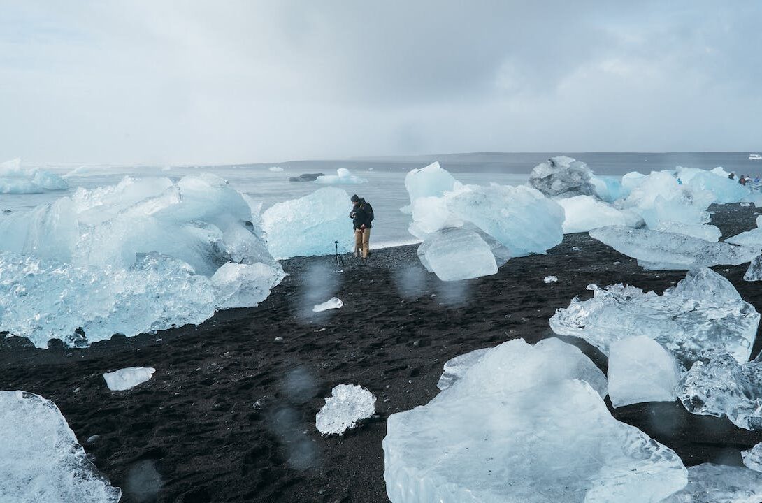
Online crowd-sourcing of scientific data could document the worldwide loss of glaciers to climate change
The platform aims to create long-lasting scientific value with minimal technical entry barriers—it is valuable…