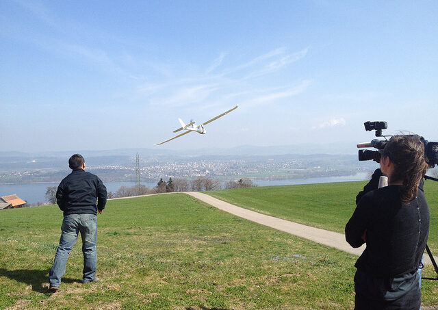
Drone technology for conservation purposes is new, and its cost effectiveness—when compared with other kinds of intervention, such as training field observers—not yet proven. Drone by ConservationDrones.org.
Drones create headlines. Like AI, their unfettered use plays on our most sci-fi induced fears. Military deployment both intrigues us and serves to increase our suspicions. Commerce enthusiastically explores their value to meet consumers ‘on-demand’ expectations. Natural history film-makers experiment with drone technology to give us rare access to the natural world. In June 2014, the US National Park Service banned them from 401 parks while it worked out a new management policy and this week a pilot reported sighting a UAV near the flight path of a passenger jet. It’s clear that the increasing use of drones presents complex challenges. UAVs or Unmanned Aerial Vehicles offer intriguing possibilities for nature conservation. One dominant focus of experimentation is their use for data capture and monitoring alongside data analytics and other spatial and reporting tools. The potential of integrated digital capabilities such GPS / satellite tagging and geo-mapping, cloud services, mobile devices, camera-traps, radio telemetry, LiDAR and data from field observation, to better understand and respond to nature conservation concerns may be significant. Suggestive of this promise, is the facility to assess biodiversity in difficult or rapidly changing terrain, to track rehabilitated species and gather data to refine reintroduction programmes or to pick-up real-time changes in animal behaviour that may indicate imminent threat of poaching. The need has never been greater. The findings of the WWF Living Planet Report 2014 are sobering: ‘Species populations worldwide have declined by 52% since 1970’. Many digitally enabled conservation projects are now underway, and hopes are high. Professor Serge Wich, Professor in Primate Biology, Liverpool John Moores University and Lian Pin Koh (Founding Directors of Conservationdrones.org), have developed drone technology to support tracking of orangutans and to assess their habitat loss. This work produces 3d geometrically accurate computer representations of the forest in near real-time that can help for example, to detect forest fires and illegal logging activity. In the course of this work they…